Roshaven Family website
|
The primary purpose of this website is to provide a central site to share information about Christian Carlson Roshaven (1887-1969) and Anna Louise (Lilloe) Roshaven (1879-1950) and their descendants.
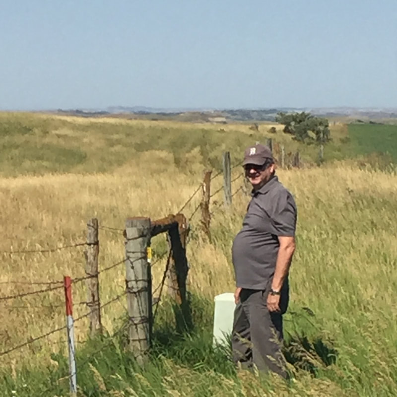
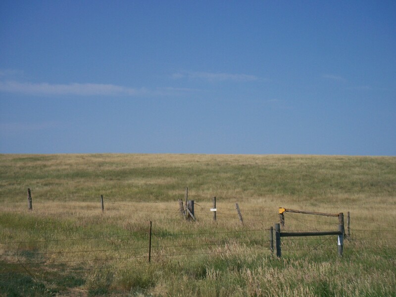
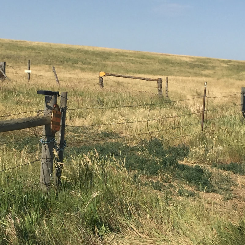
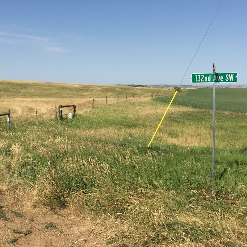
Heimatt, Christian Carlson Roshaven's memoir, will be available as an E-Book through this site. Other written memories by his children will also be available. In addition, photographs of Christian and Anna's children will be featured on site. In the top left picture you can see a yellow surveyor's sign on a corner post. The view is to the southwest and the fence runs east and west and appears to be the northern boundary of the original homestead. The corner post also has a fence that runs to the south and that appears to be the eastern boundary of the homestead. If you place your cursor in a picture a caption will appear.
|
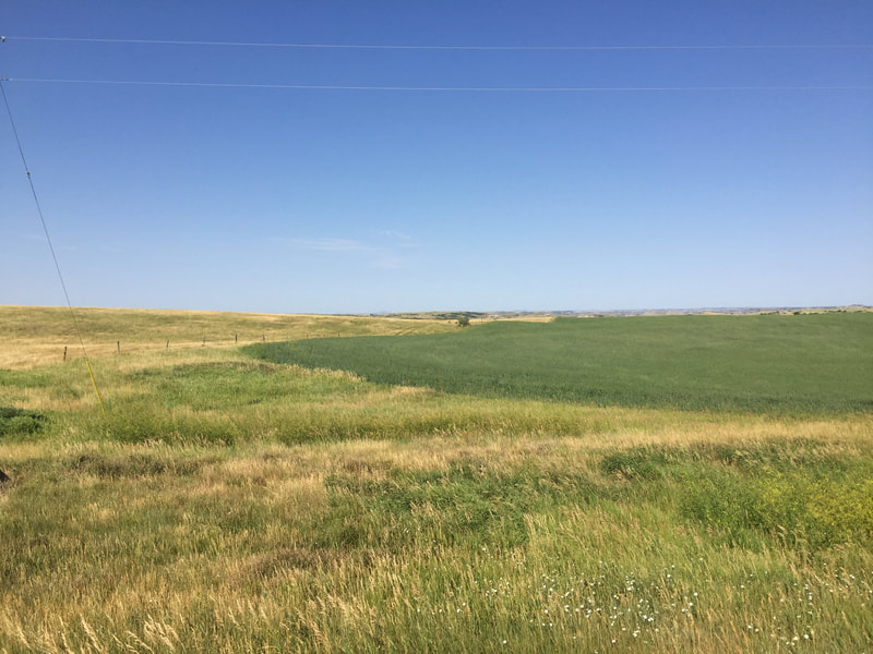
Roshaven Homestead in North Ross and Linda Bishop who visited the site of the family homestead in North Dakota and provided these detailed directions and photographs.
Take US -85 North out of Belfield N.D. for about 11 miles until you come to the intersection of US-85 and 25th Street, also known as S. Ash Coulee Rd. Turn left (West) on 25th Street (dirt road) and go 4 miles. After 4 miles the road takes a slight jog to the right (North and then West again) and at the spot of that slight jog is the North East Corner of the original 160 acres of the homestead. There is a road sign at that location indicating the intersection of 25th Street NW and 132nd Ave SW. There is fence row to the Southwest of that road sign and on one of the posts is a surveyor's sign indicating that that is the Southeast corner of Section 1 of Township 141 West, Range 100 North. The Southeast corner of Section 1 of Township 141 west, Range 100 North is also the Northeast corner of Section 12 of that same township. Grandpa Chris homesteaded the North 1/4 of Section 12. (In Heimatt he indicated he homesteaded the north half of the northwest quarter and the north half of the northeast quarter of section 12, but that just means it was the north quarter of section 12.) From that surveyor's sign, or close to it anyway, the homestead was a rectangle that ran for 1 mile due west and 1/4 mile to the south. Click on this link for a Google map displaying the route from Belfield to the homestead. |


